


mesnil sous jumieges

PHIL76750
User
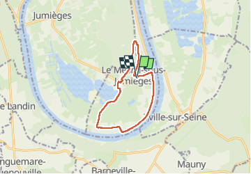

Length
9.8 km

Max alt
50 m

Uphill gradient
82 m
Km-Effort
10.9 km

Min alt
-1 m

Downhill gradient
82 m
Boucle
Yes
Creation date :
2025-05-28 12:13:34.01
Updated on :
2025-05-28 15:16:42.733
2h29
Difficulty : Medium

FREE GPS app for hiking
 SityTrail
IGN / Geographical institutes
SityTrail Plus
The world is yours!
About
Trail Walking of 9.8 km to be discovered at Normandy, Seine-Maritime, Le Mesnil-sous-Jumièges. This trail is proposed by PHIL76750.
Description
facile
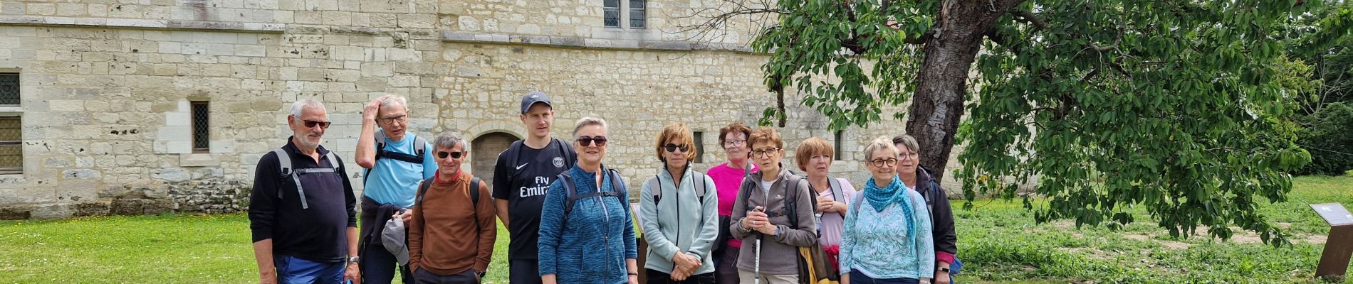
Photos


Positioning
Country:
France
Region :
Normandy
Department/Province :
Seine-Maritime
Municipality :
Le Mesnil-sous-Jumièges
Location:
Unknown
Start:(Dec)
Start:(UTM)
344737 ; 5475406 (31U) N.
Comments